Tāmaki Makaurau · an open-data atlas
Auckland,
understood.
Follow the shore. Find the connections.
A real city map to think with, one place at a time.
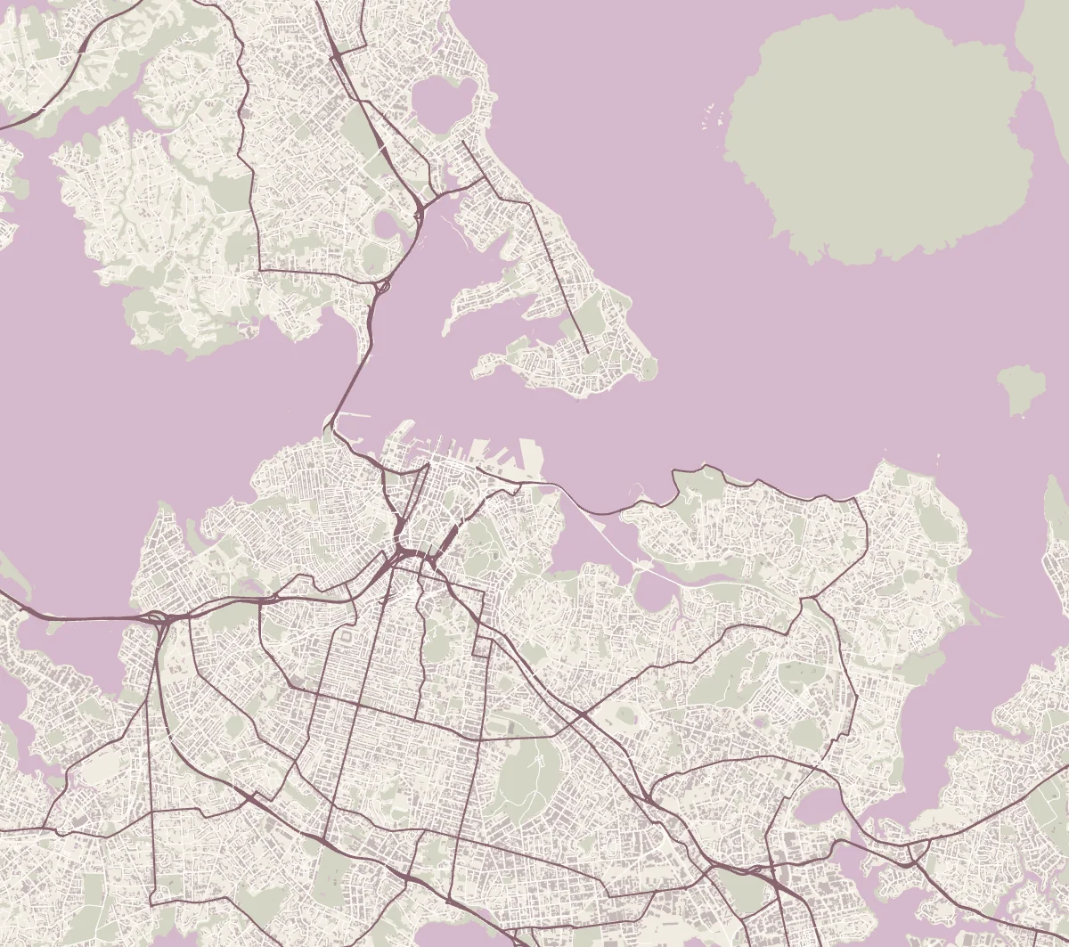
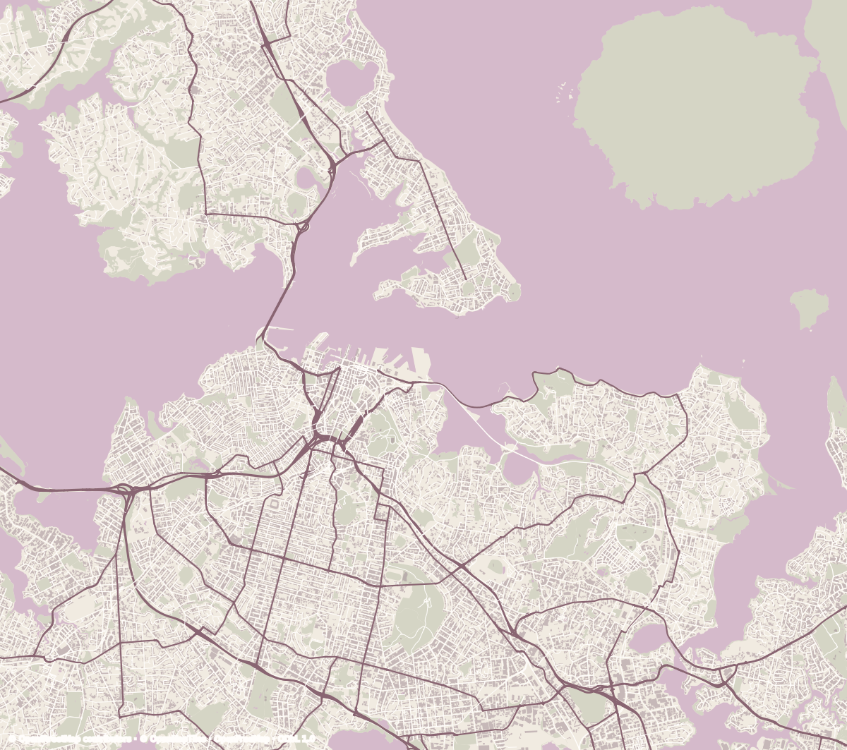
Loading interactive map…
Approx. 2 km
OpenFreeMap © OpenMapTiles · © OpenStreetMap contributors · Sources & limits
A map with its workings shown
Real places.
Room for questions.
Coastline, streets, parks and building footprints come from OpenStreetMap via OpenFreeMap vector tiles. This is a fixed Auckland extract, not a live navigation map. Features may be missing or simplified; footprints do not establish height, occupancy or ownership.
The map is north-up in Web Mercator. Distances are approximate at Auckland’s latitude. It shows no flood extents, property risk, safe routes or current conditions. The learning questions are authored by assembl.